Garden city
Menteng’s trees, streets, and public spaces were designed as a system. Suropati Park makes that planning idea legible at walking pace.
URBAN GREEN SPACE · MENTENG
Suropati Park is a green pause where three historic streets meet—an invitation to walk, observe, and read Jakarta at a slower pace.
BEFORE YOU GO
Think of the park as a short civic pause: a place for light walking, tree shade, and close observation of Menteng. Arrive with a simple plan, then leave some room to wander.
AT A GLANCE
Opening conditions and on-site facilities can change. Verify if your schedule is tight or your needs are specific.
02 / PLACE CONTEXT
Menteng grew from an early twentieth-century garden-city idea: housing, streets, and green space were considered together. In this planned district, Bisschooplein—the earlier name for the space now known as Suropati Park—began to take shape in the 1920s.
The meeting of Teuku Umar, Diponegoro, and Imam Bonjol Streets is not just a map feature. It reveals the park’s civic role: a breathing space within a network of streets and homes rather than leftover land at the edge of the city.
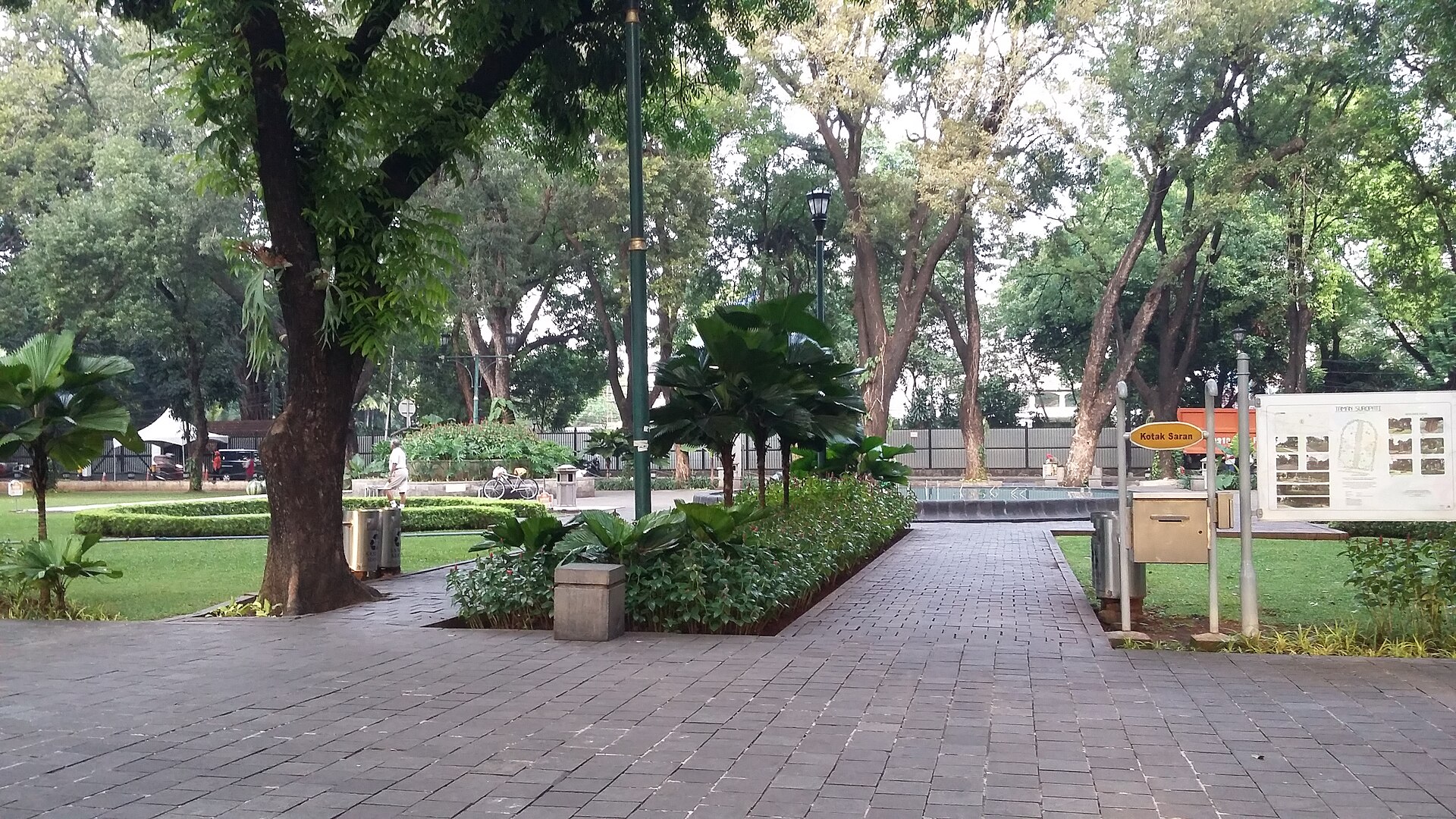
Today, notice the small things—tree shade, paved paths, benches, water, crossings, and older buildings around the perimeter. Together they are an urban archive still being used every day.
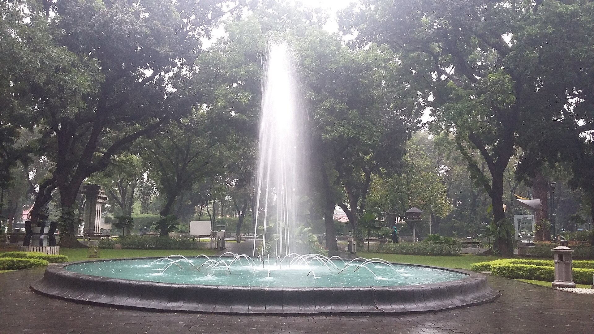
Look at the small scale: benches, paving, leaf shadows, and the sound of water. That is where the park works best.
FIELD NOTE / 0203 / LAYERS OF MEANING
This compact place brings together planning, everyday use, and public art. The entries below distinguish documented context from personal interpretation.
Menteng’s trees, streets, and public spaces were designed as a system. Suropati Park makes that planning idea legible at walking pace.
The earlier name appears in the district’s historical record. Its later identity as Suropati Park links an older colonial-era urban space with modern Indonesian civic memory.
Research on the park discusses sculptures by artists from ASEAN founding countries and relates them to peace, harmony, and unity. Read them as part of public space, not detached objects.
We do not add untraceable legends. If you hear a local story during a visit, treat it as oral experience until a checkable source confirms it.
Read the public-art study ↗PRACTICAL PREPARATION
The city park is commonly visited without an entry ticket. Budget separately for travel, parking, drinks, or needs outside the grounds.
Mornings and late afternoons are often more comfortable. Bring water, rain protection, and footwear suited to urban paths.
Roadside capacity can be limited. Respect signs and choose a safe drop-off point without obstructing traffic or pedestrians.
Paths, benches, open space, and a fountain are documented. Confirm toilets, drinking water, worship facilities, baby needs, and accessibility when they matter to your visit.
This is an independent planning guide, not an operational notice. Conditions and event rules can change.
05 / GETTING HERE
Do not rely on one fixed journey. Jakarta moves quickly; use live information, then choose transfers that fit the weather, your luggage, accessibility needs, and available time.
FROM THE AIRPORT
Use the airport rail service to a city interchange, then continue to Menteng by taxi, ride-hailing, or public transport. Check schedules and transfer points on your travel day.
Check the airport rail operator ↗BUS & TRANSJAKARTA
Search active stops and connections for the Menteng area using the official route finder, then plan the final walking segment for real street and weather conditions.
Check official routes ↗TAXI & RIDE-HAILING
Enter “Taman Suropati” as the destination and agree on a pick-up point that does not block traffic. A short walk to a safer meeting point can be more practical at busy times.
See the coordinates ↘CITY RAIL & TRANSFERS
If you arrive via urban or intercity rail, select a transfer hub that makes sense for Menteng. Compare street conditions, luggage, cost, and weather before walking or taking a vehicle onward.
Check live journey options ↗PRIVATE CAR & PARKING
Do not assume dedicated park parking. Follow signs, avoid restricted roadside space, and use a current map to identify legal parking before approaching the park.
Read the service notes ↘WALKING & CYCLING
Some of Menteng can be explored on foot, but crossings, pavement, heat, and rain matter. Use a pedestrian route planner rather than relying on old conditions.
Plan a district walk ↘06 / FIELD GUIDE
This is not a business directory. Use it as a decision list: identify the service type you need, then confirm distance, hours, cost, access, and capacity through a current map or the relevant operator.
Do not assume toilets, hand-washing, or baby facilities are always inside the park. Locate a suitable public or commercial facility nearby if this is essential.
Use legal parking or a drop-off point that does not obstruct movement. Signs, roadside rules, and capacity can change.
Menteng has many categories of food and drink venues. Choose by walking distance, dietary needs, budget, and opening hours—not a promotional list.
Central Jakarta has different accommodation types. Check late-hour access, transport connections, check-in rules, and the pedestrian route before booking.
For water, rain gear, medicine, or daily necessities, use a current map to locate grocery, convenience, and pharmacy categories. Stock and opening hours vary.
Fuel stations and electric-vehicle charging are route needs, not park amenities. Use a map or network operator to locate a compatible facility before travelling.
07 / BEYOND THE PARK
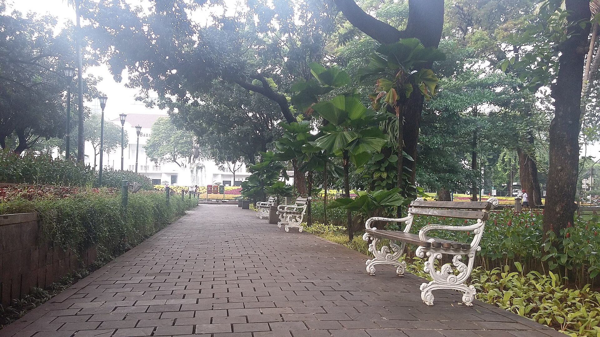
Not every visit needs to be productive. Photo: Marwan Mohamad · CC BY-SA 4.0
Menteng’s streets, trees, and civic landmarks reward a slow route. Plan your return before evening and respect crossings.
Food, drink, accommodation, groceries, pharmacies, fuel, and charging should be selected as categories that match your needs. This guide does not endorse a particular operator.
Carry your own water, avoid leaving litter, keep volume low, and share benches and paths. A public park works through small mutual care.
NEARBY PLACES TO EXPLORE
Museum of the Formulation of the Proclamation ↗Situ Lembang Park ↗Menteng Park ↗08 / ON THE MAP
-6.199387, 106.8326333
Open in Google Maps ↗09 / FREQUENT QUESTIONS
These answers help with early planning. For time-sensitive information, follow live operator information and on-site guidance.
This public city park is generally visited without an admission ticket. Travel, parking, food, and other personal costs may apply separately. Check current conditions if an event is taking place.
Morning and late afternoon are often more comfortable for a slow walk. Jakarta weather, rain, heat, and activity in the park can change the experience.
From Soekarno–Hatta International Airport, use the airport rail service to a city interchange, then continue to Menteng by taxi, ride-hailing, or public transport. Confirm service details on your travel day.
No. Stop patterns and service can change. Use TransJakarta’s official route finder and a current journey planner to identify a practical Menteng-area stop before travelling.
Do not assume so. Benches, paved paths, open space, and a fountain are documented public features, while toilets, parking, accessibility conditions, and other amenities should be confirmed in person or on a current map.
Menteng and central Jakarta offer many categories of eateries, groceries, pharmacies, and accommodation. This guide does not endorse businesses; compare access, opening hours, cost, and suitability yourself.
It sits within the early twentieth-century garden-city planning of Menteng and was known as Bisschooplein. Its public-art context includes ASEAN sculptures discussed in published research.
No. We separate sourced urban history from informal or oral accounts. We do not present a local story as historical fact unless an open, checkable source supports it.
USAGE NOTES
Historical background, public activity records, and transportation directions for the area may reference the Pandeglang Regency Government website, spatial planning studies, and public tourism guides.
Ticket prices, schedules, operating routes, restroom availability, parking spaces, energy services, and event conditions are all subject to change. Please confirm before using any service or altering your travel plans.
This website does not recommend or rank any specific businesses, operators, restaurants, hotels, shops, or services, nor does it receive any commercial benefit from the inclusion of such information.